Surveying & Planning Services
Davis & Associates

Surveying & Planning Services

Navigating the complexities of Land Surveying and Land Planning requires a steady hand and a local perspective tailored to your specific needs.

Distinguished Land Solutions

Our Services

Comprehensive Surveying & Land Planning for the Virginia Peninsula

Boundary & ALTA/NSPS Surveys
Boundary & ALTA

Boundary & ALTA/NSPS Surveys

Essential for Real Estate Transactions

We provide meticulous Boundary Surveys and ALTA/NSPS Land Title Surveys to define property limits and resolve title issues. Our team ensures all easements, improvements, and encroachments are documented with absolute precision for commercial and residential closings.


Topographic & Physical Surveys
Mapping & Detail

Topographic & Physical Surveys

Foundational Site Data

Detail the natural and man-made features of your land with our high-accuracy topographic mapping and physical surveys. These essential datasets capture contours, utilities, and existing structures to form the foundation for architectural design and engineering projects.

Lot Stake Out & Construction Layout
Construction Support

Lot Stake Out & Construction Layout

Bringing Blueprints to Life

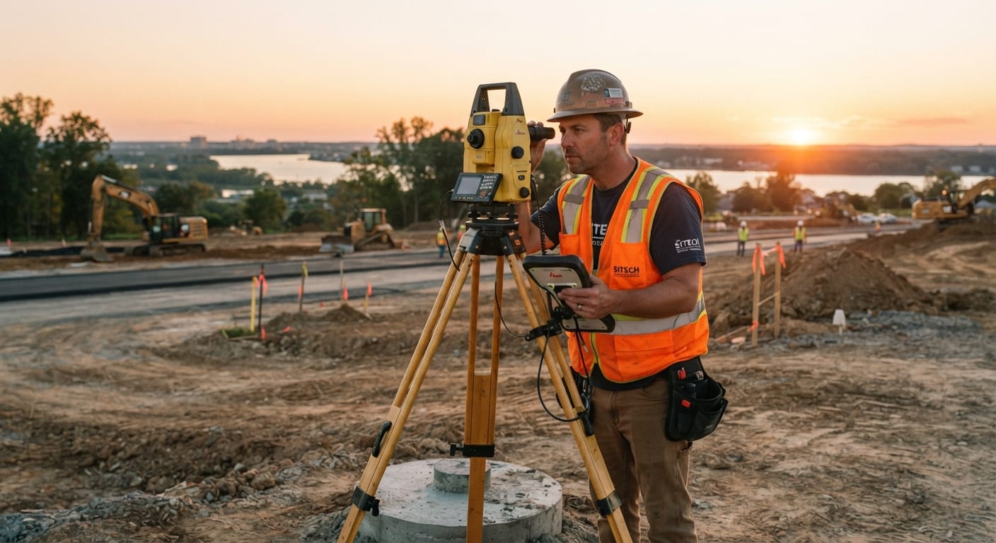
Transition from blueprints to reality with our precise lot stake out and construction layout services. We provide the vital ground control necessary for builders to ensure structures, foundations, and utilities are placed exactly according to the approved design.

FEMA Certificates & Wetlands Location
Environmental Compliance

FEMA Certificates & Wetlands Location

Regulatory & Insurance Support

Protect your investment and ensure regulatory compliance with FEMA Flood Elevation Certificates and professional wetlands mapping. We help property owners navigate environmental constraints and secure the necessary documentation for flood insurance and development permitting.

Site & Subdivision Development
Land Planning

Site & Subdivision Development

Residential & Family Subdivisions

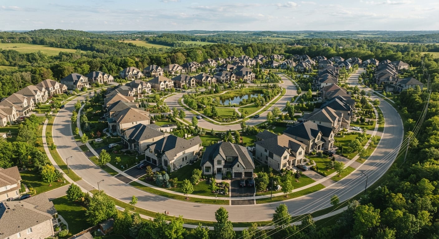
From large-scale site development to intimate family subdivisions, we handle the complex land planning process from concept to final approval. Our expertise streamlines the path through local zoning boards to ensure your vision for the land is realized efficiently.

Boundary Adjustments & Easements
Legal Plats

Boundary Adjustments & Easements

Vacations & Line Adjustments

We specialize in the preparation of Boundary Line Adjustment Plats, Property Line Vacations, and Easement Plats to modify legal land records. Our technical staff works closely with local jurisdictions to facilitate smooth recordation of updated property boundaries.

Stormwater & BMP Management
Civil Engineering

Stormwater & BMP Management

Sustainable Drainage Solutions

Address modern environmental requirements with our Stormwater Management plans and Best Management Practice (BMP) designs. We create sustainable drainage solutions that protect local ecosystems while maximizing the usable area of your development project.

Erosion Control & Right-of-Way
Infrastructure

Erosion Control & Right-of-Way

Improvement Drawings & Control

Our team produces detailed Erosion & Sediment Control plans and Right-of-Way improvement drawings required for public infrastructure. We ensure your development meets all municipal standards while minimizing environmental impact during the construction phase.